Bosley Reservoir and Bosley Locks
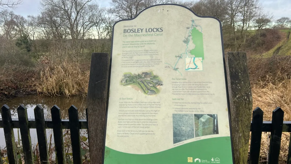
Round the reservoir that feeds the Macclesfield Canal, over to Bosley village and back beside the canal's flight of twelve locks.
This film is on YouTube, which sets cookies.
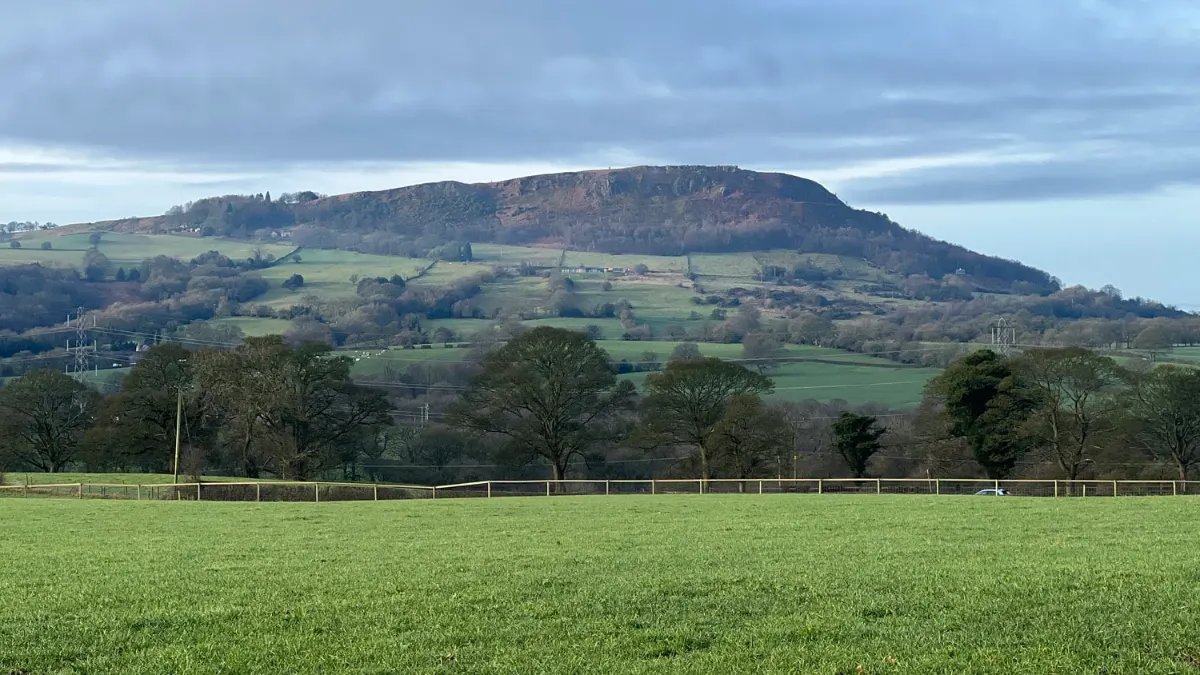
Just beyond Congleton, on the far side of the Cloud, Bosley sits on the eastern edge of Cheshire by the Staffordshire border.
Bosley Reservoir was built to feed the Macclesfield Canal, which needs a lot of water to climb the twelve-lock staircase at Bosley. The route goes beside the reservoir, then over the fields to the village past St Mary's Church, and back along the locks.
There's a shorter version that just does the reservoir, about three miles.
Highlights
- Bosley Reservoir
- Bosley Locks
- St Mary's Church
- Distance
- 5.7 miles (9.2 km)
- Route
- circular
- Difficulty
- easy to moderate
- Start
- Bosley Reservoir
- Parking
- By Bosley Reservoir
- Terrain
- Lakes & meres, Canal, History, Fields