Moel Famau Trail Run
Nature in the raw on the highest hill in the Clwydian Range, along Offa's Dyke to the Jubilee Tower with views to Snowdon.
This film is a Patreon exclusive.
The route, map and GPX are free below. The film is for members.
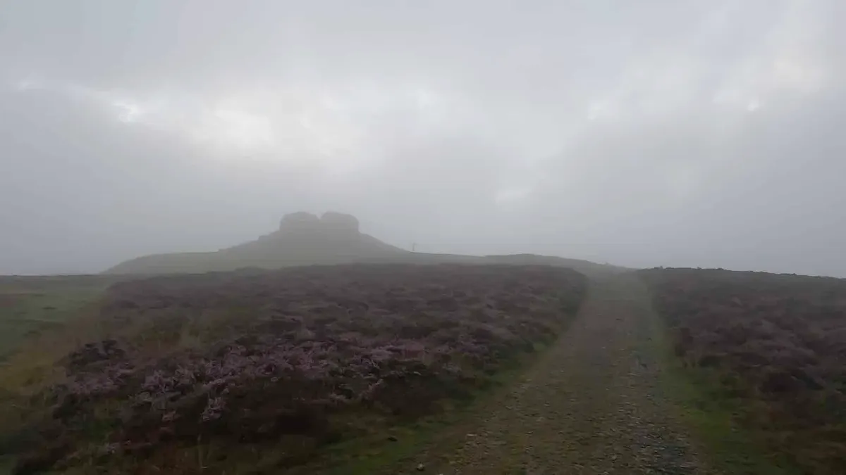
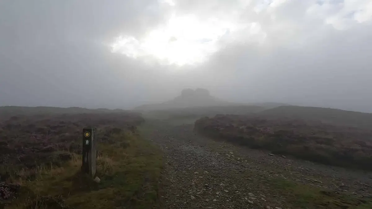
Moel Famau, near Mold, is the highest hill in the Clwydian Range. This route starts from the small car park on Offa's Dyke Path between Moel Arthur and Moel Famau and climbs to the Jubilee Tower on the top. On a clear day you can see Cadair Idris and Snowdon.
If you went the other way you'd reach Moel Arthur, where the ramparts of a 2,000 year old hillfort are still clear, and there's another car park beyond it if you want to extend.
The film is a Patreon exclusive.
Highlights
- Jubilee Tower on Moel Famau
- Offa's Dyke Path
- Views to Snowdonia
- Distance
- 10 miles (16.1 km)
- Route
- circular
- Difficulty
- challenging
- Start
- Car park on Offa's Dyke Path between Moel Arthur and Moel Famau
- Parking
- Small car park between Moel Arthur and Moel Famau
- Terrain
- Hills, Woods, History, Old railway & trails