Dee Estuary: Burton Point, Shotwick and Puddington
Along the edge of the Dee salt marshes to Burton Point's Iron Age fort, back through the old villages of Shotwick, Puddington and Burton.
This film is on YouTube, which sets cookies.
The Dee estuary is a lovely place for a walk, with big views across to Wales. From Denhall you head out to Burton Point, an Iron Age promontory fort where ships used to moor before the river silted up. It's all salt marsh now, much of it an RSPB reserve.
The way back goes through the beautiful villages of Shotwick, with its old church, Puddington and Burton. About 9.5 miles, mostly flat.
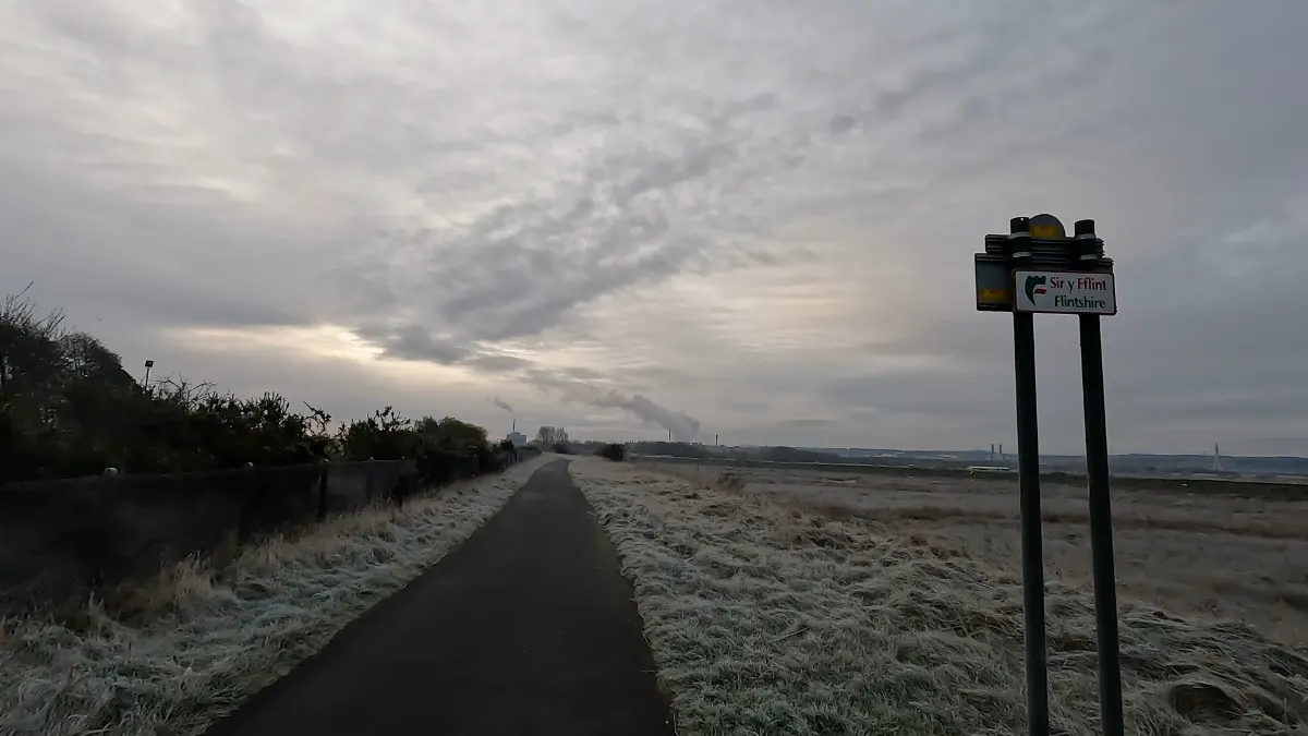
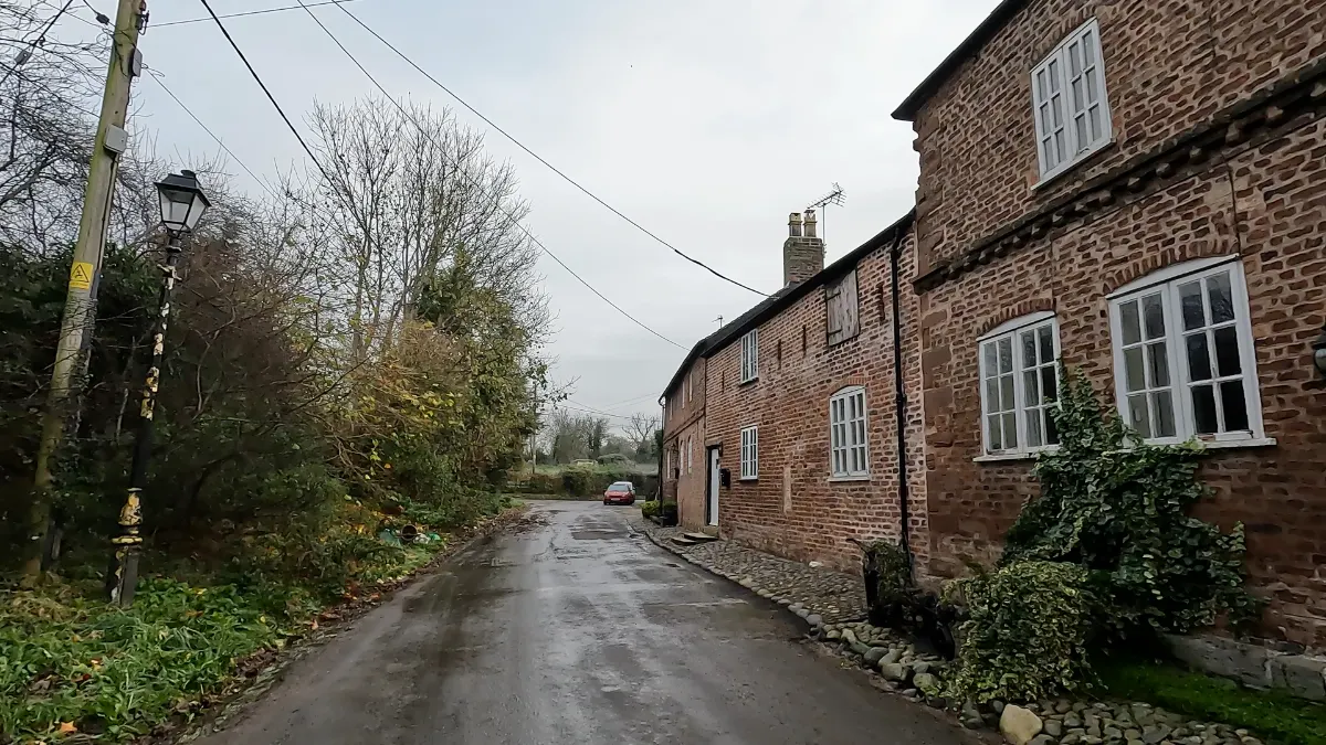
Highlights
- Burton Point
- Dee salt marshes
- Shotwick village
- Distance
- 9.5 miles (15.3 km)
- Route
- circular
- Difficulty
- easy
- Start
- Denhall Lane
- Parking
- Denhall Lane, near Neston
- Terrain
- Coast, History, Fields