Porthor to Aberdaron on the Wales Coast Path
A tough, rugged stretch from Whistling Sands round the very tip of the Llŷn, over Mynydd Mawr with Bardsey Island below, to Aberdaron.
This film is on YouTube, which sets cookies.
This was a challenging one: 9.6 miles and more than 2,000 feet of climbing. With it done, I'd run a continuous line from Prestatyn to the tip of the Llŷn Peninsula.
You start at Porthor, Whistling Sands, a stunning beach where they once quarried jasper. The Wales Coast Path winds round the rugged coast to the most westerly point of North Wales, climbing Mynydd Mawr, where on a clear day you can see Bardsey Island and right down the coast. Then it's on round to Aberdaron.
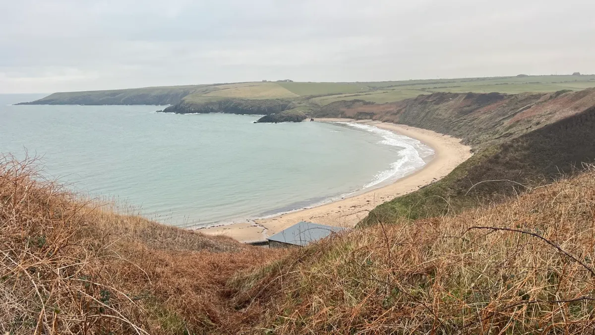
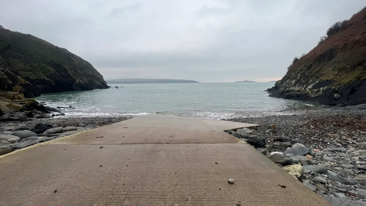
Highlights
- Whistling Sands, Porthor
- Mynydd Mawr and Bardsey views
- Aberdaron
- Distance
- 9.6 miles (15.4 km)
- Route
- one way
- Difficulty
- challenging
- Start
- Porthor (Whistling Sands)
- Parking
- National Trust car park at Porthor
- Terrain
- Coast, Hills, History